Type of resources
Available actions
Topics
Keywords
Contact for the resource
Provided by
Years
Formats
Representation types
Update frequencies
status
Service types
Scale
-

This dataset contains water quality data from BONDS's 2019 field campaign aquired in 2019.
-

This land cover classification refers to a study area in Bahia state, in the Cerrado biome. For this map, the CBERS-4/AWFI monthly data cube was used, with a spatial resolution of 64 meters, using the best pixel composition function (Stack). This experiment uses the time series of an agricultural calendar year, from September 2018 to August 2019, extracted from the CBERS-4/AWFI data cube. The classification was made using 922 samples (Pasture: 258; Agriculture: 242; Natural Vegetation: 422) and the following data cube bands: red, green, blue, and near-infrared (NIR) along with the NDVI and EVI indices. We trained a multi-layer perceptron for a deep learning classification network to classify the data cube using sits R package. Validation was done using good practice guidelines by Olofsson. The validation was done independently for each map using the PRODES Cerrado data of 2019. This data obtained overall accuracy (OA) 0.74. For more information see the paper "Earth Observation Data Cubes for Brazil: Requirements, Methodology and Products". To access this resource in GeoTIFF format it is necessary to have an access key provided by the BDC-OAuth service.
-

The modeling of the underwater light fields is essential for the understanding of biogeochemical processes, such as photosynthesis, carbon fluxes, and sediment transports in inland waters. Water-column light attenuation can be quantified by the diffuse attenuation coefficient of the downwelling irradiance (Kd) using semi-analytical algorithms (SAA). Therefore, this study demonstrates a successful application of satellite remote sensing data for the spatialization of the Kd in the optically complex waters of the Amazon Basin, which is essential for the ecological management of the Amazon Floodplain Lakes.
-

This land cover classification refers to a study area in Bahia state, in the Cerrado biome. For this map, the Landsat-8 monthly data cube was used, with a spatial resolution of 30 meters, using the best pixel composition function (Stack). This experiment uses the time series of an agricultural calendar year, from September 2018 to August 2019, extracted from the Sentinel-2 data cube. The classification was made using 922 samples (Pasture: 258; Agriculture: 242; Natural Vegetation: 422) and the following data cube bands: red, green, blue, and near-infrared (NIR) along with the NDVI and EVI indices. We trained a multi-layer perceptron for a deep learning classification network to classify the data cube using sits R package. Validation was done using good practice guidelines by Olofsson. The validation was done independently for each map using the PRODES Cerrado data of 2019. This data obtained overall accuracy (OA) 0.90. For more information see the paper "Earth Observation Data Cubes for Brazil: Requirements, Methodology and Products". To access this resource in GeoTIFF format it is necessary to have an access key provided by the BDC-OAuth service.
-

This land cover classification refers to a study area in Mato Grosso state, in the Cerrado biome. For this map, the CBERS-4/AWFI monthly data cube was used, with a spatial resolution of 64 meters, using the best pixel composition function (Stack). This experiment uses the time series of an agricultural calendar year, from September 2018 to August 2019, extracted from the CBERS-4/AWFI data cube. The classification was made using 852 samples (Annual Crop: 257; Natural Vegetation: 245; Pasture: 216; Semi-Perennial Crop: 134) and the following data cube bands: bands red, green, blue, and near-infrared along with the EVI, NDVI, GEMI, GNDVI, NDWI2, PVR indices. We trained a multi-layer perceptron for a deep learning classification network to classify the data cube using sits R package. To access this resource in GeoTIFF format it is necessary to have an access key provided by the BDC-OAuth service.
-

This land cover classification refers to a study area in Goiás state, in the Cerrado biome. For this map, the CBERS-4/AWFI monthly data cube was used, with a spatial resolution of 64 meters, using the best pixel composition function (Stack). This experiment uses the time series of an agricultural calendar year, from September 2018 to August 2019, extracted from the CBERS-4/AWFI data cube. The classification was made using 701 samples (Annual Crop: 299; Natural: 202; Pasture: 200) and the following data cube bands: red, green, blue, and near-infrared (NIR) along with the NDVI and EVI indices. We trained a multi-layer perceptron for a deep learning classification network to classify the data cube using sits R package. To access this resource in GeoTIFF format it is necessary to have an access key provided by the BDC-OAuth service.
-

The CBERS-4 WFI Brazil Mosaic covers the entire Brazilian territory. The mosaic uses surface reflectance images from the CBERS satellite, a WFI imaging camera (or sensor) with 64 meters of spatial resolution. It is a composition of images from April to June 2020, selecting the best pixel within the period. The final product is an RGB color composite with the red (B15), NIR (B16), and blue (B13) bands.
-

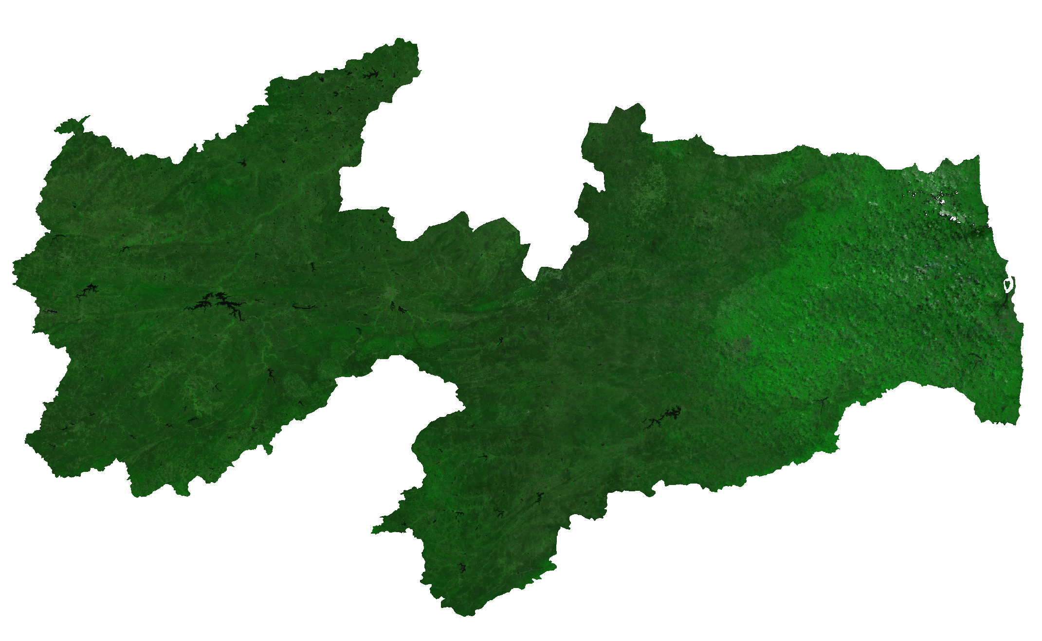
The Paraiba State Mosaic was generated with technologies under development in the Brazil Data Cube project, using the best pixel (free of cloud and cloud shadows) for three months (April, May, and June 2020). This mosaic was generated using CBERS-4A (55 meters).
 BIG Catalogue

