 BIG Catalogue
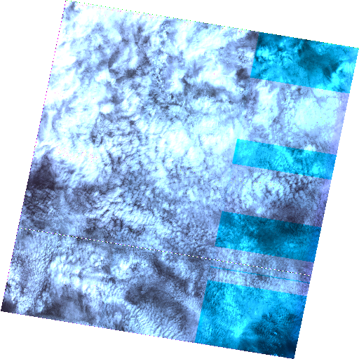
STAC Collection - CBERS-2/CCD - Level-2-DN
CBERS-2/CCD - Level-2 Digital Number product. Level 2 products have radiometric correction and geometric correction using satellite ephemeris and attitude data (system correction).
Simple
- Date (Publication)
- Status
- On going
- Maintenance and update frequency
- Continual
- Keywords
-
-
cbers
-
cbers-2
-
ccd
-
level-2
-
digital number
-
earth observation
-
brazil
-
visible imagery
-
- Access constraints
- Copyright
- Use constraints
- License
- Other constraints
-
Creative-Commons-Attribution-4.0-International: https://creativecommons.org/licenses/by/4.0/
- Spatial representation type
- Grid
- Metadata language
-
eng
- Character set
- UTF8
- Topic category
-
- Imagery base maps earth cover
- Begin date
- 2007-01-01
- End date
- 2009-01-07
))
- Reference system identifier
- UTM/WGS84
- Distribution format
-
-
JSON
JSON
GeoTIFF
XML
PNG
(
)
-
JSON
JSON
GeoTIFF
XML
PNG
(
)
- OnLine resource
-
INPE STAC Browser
(
WWW:LINK-1.0-http--link
)
This is the landing page for the INPE STAC server. The SpatioTemporal Asset Catalogs (STAC) provide a standardized way to expose collections of spatial temporal data. Here you will find collections of data provided by projects and areas of INPE.
- OnLine resource
-
CBERS-2/CCD - Level-2-DN Collection
(
WWW:LINK-2.0-http--link
)
End point to access INPE Spatio Temporal Asset Catalog (STAC) server, collection CB2-CCD-L2-DN-1
- Hierarchy level
- Dataset
- File identifier
- CB2-CCD-L2-DN-1 XML
- Metadata language
- Portuguese
- Character set
- UTF8
- Date stamp
- 2024-10-21T18:21:11
- Metadata standard name
-
ISO 19115:2003/19139
- Metadata standard version
-
1.0
Overviews
Spatial extent
Provided by
