 BIG Catalogue
LabISA Brazilian Amazon Fieldwork Data (March 2022)
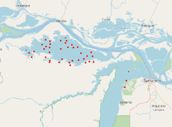
This dataset contains radiometric, limnologic, and taxonomic data from LabISA’s field campaign carried out in March 2022 in the Amazon region. These data were acquired in the context of the BONDS and SABERES projects (FAPESP-Grant 2018/12083-1). The campaign was composed by two different field sites: Curuai lake and Tapajós river.
Simple
- Date (Publication)
- 2022-12-20
- Status
- Completed
Author
LabISA
-
Claudio Clemente de Faria
Av. dos Astronautas, 1.758 - Jardim da Granja
,
São José dos Campos
,
Prédio: ASA Sala: 25
,
12227-010
,
Brasil
+55 (12) 3208-6480
- Maintenance and update frequency
- As needed
- Keywords
-
-
Field Work
-
Radiometric Data
-
Limnology Data
-
Taxonomy data
-
Amazon
-
Hidrografia
-
DIOTG
-
LabISA
-
In-situ
-
Amazônia
-
- Place
-
- Access constraints
- Restricted
- Use constraints
- Restricted
- Other constraints
-
Acesso aos dados se dá mediante autorização.
- Spatial representation type
- Vector
- Metadata language
- English
- Character set
- UTF8
- Topic category
-
- Inland waters
N
S
E
W
))
- Begin date
- 2022-03-13
- End date
- 2022-03-25
Extent
No information provided.
- Reference system identifier
- WGS 1984
- Distribution format
-
-
ESRI Shapefile
(
1.0
)
-
ESRI Shapefile
(
1.0
)
- Hierarchy level
- Dataset
- File identifier
- 11c6ae22-eecf-433d-9dd4-3fe22497f37c XML
- Metadata language
- Portuguese
- Character set
- UTF8
- Date stamp
- 2025-09-17T13:59:34
- Metadata standard name
-
ISO 19115:2003/19139
- Metadata standard version
-
1.0
Point of contact
LabISA
-
Claudio Clemente de Faria
Av. dos Astronautas, 1.758 - Jardim da Granja
,
São José dos Campos
,
Prédio: ASA Sala: 25
,
12227-010
,
Brasil
+55 (12) 3208-6480
Overviews
AmazonFieldMar22.png
Spatial extent
N
S
E
W
Provided by

Associated resources
Not available