 BIG Catalogue
STAC Collection - CBERS-4/WFI - Level-4-SR - Data Cube - LCF 16 days
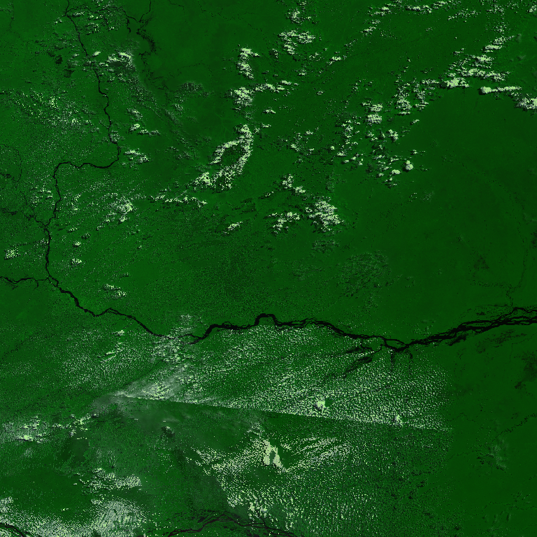
Earth Observation Data Cube generated from CBERS-4/WFI Level-4 SR product over Brazil extension. This dataset is provided in Cloud Optimized GeoTIFF (COG) file format. The dataset is processed with 64 meters of spatial resolution, reprojected and cropped to BDC_LG grid Version 2 (BDC_LG V2), considering a temporal compositing function of 16 days using the Least Cloud Cover First (LCF) best pixel approach.
Simple
- Date (Publication)
- Status
- On going
- Maintenance and update frequency
- Continual
- Keywords
-
-
data cube
-
cbers
-
cbers-4
-
surface reflectance
-
vegetation index
-
cloud optimized geotiff
-
cog
-
earth observation
-
brazil
-
- Access constraints
- Copyright
- Use constraints
- License
- Other constraints
-
Creative-Commons-Attribution-4.0-International: https://creativecommons.org/licenses/by/4.0/
- Spatial representation type
- Grid
- Metadata language
-
eng
- Character set
- UTF8
- Topic category
-
- Imagery base maps earth cover
- Begin date
- 2016-01-01
- End date
- 2025-08-12
))
- Reference system identifier
- UTM/WGS84
- Distribution format
-
-
JSON
COG
PNG
(
)
-
JSON
COG
PNG
(
)
- OnLine resource
-
INPE STAC Browser
(
WWW:LINK-1.0-http--link
)
This is the landing page for the INPE STAC server. The SpatioTemporal Asset Catalogs (STAC) provide a standardized way to expose collections of spatial temporal data. Here you will find collections of data provided by projects and areas of INPE.
- OnLine resource
-
CBERS-4/WFI - Level-4-SR - Data Cube - LCF 16 days Collection
(
WWW:LINK-2.0-http--link
)
End point to access INPE Spatio Temporal Asset Catalog (STAC) server, collection CBERS4-WFI-16D-2
- Hierarchy level
- Dataset
- File identifier
- CBERS4-WFI-16D-2 XML
- Metadata language
- Portuguese
- Character set
- UTF8
- Date stamp
- 2024-10-21T18:21:11
- Metadata standard name
-
ISO 19115:2003/19139
- Metadata standard version
-
1.0
Overviews
Spatial extent
Provided by
