 BIG Catalogue
LabISA Alcatrazes - Brazil - FieldWork (September 2023)
This dataset contains radiometric (total water leaving radiance - Lw; sky radiance - Lsky, and downwelling irradiance above water surface - Es) data for the Alcatrazes field mission that was carried out in September 2023.
Simple
- Date (Publication)
- 2023-11-29
- Status
- Under development
Author
LabISA
-
Claudio Clemente de Faria
Av. dos Astronautas, 1.758 - Jardim da Granja
,
São José dos Campos
,
Prédio: ASA Sala: 25
,
12227-010
,
Brasil
+55 (12) 3208-6480
- Maintenance and update frequency
- As needed
- Theme
-
-
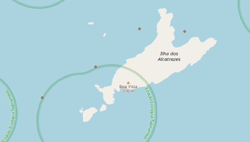
Alcatrazes
-
Reflectance
-
Hidrografia
-
DIOTG
-
LabISA
-
In-situ
-
São Paulo
-
- Place
-
- Access constraints
- Restricted
- Use constraints
- Restricted
- Other constraints
-
Acesso aos dados se dá mediante autorização.
- Spatial representation type
- Vector
- Metadata language
- English
- Character set
- UTF8
- Topic category
-
- Inland waters
N
S
E
W
))
- Begin date
- 2023-09-19
- End date
- 2023-09-19
Extent
No information provided.
- Reference system identifier
- EPSG:4326
- Distribution format
-
-
ESRI Shapefile
(
1.0
)
-
ESRI Shapefile
(
1.0
)
- Hierarchy level
- Dataset
- File identifier
- ec140c8c-9193-4fda-98a9-01f34a069b58 XML
- Metadata language
- Portuguese
- Character set
- UTF8
- Date stamp
- 2025-09-17T14:12:08
- Metadata standard name
-
ISO 19115:2003/19139
- Metadata standard version
-
1.0
Point of contact
LabISA
-
Claudio Clemente de Faria
Av. dos Astronautas, 1.758 - Jardim da Granja
,
São José dos Campos
,
Prédio: ASA Sala: 25
,
12227-010
,
Brasil
+55 (12) 3208-6480
Overviews
Spatial extent
N
S
E
W
Provided by

Associated resources
Not available