 BIG Catalogue
Keyword
Mosaic
Type of resources
Available actions
Topics
Keywords
Contact for the resource
Provided by
status
Service types
From
1
-
1
/
1
-
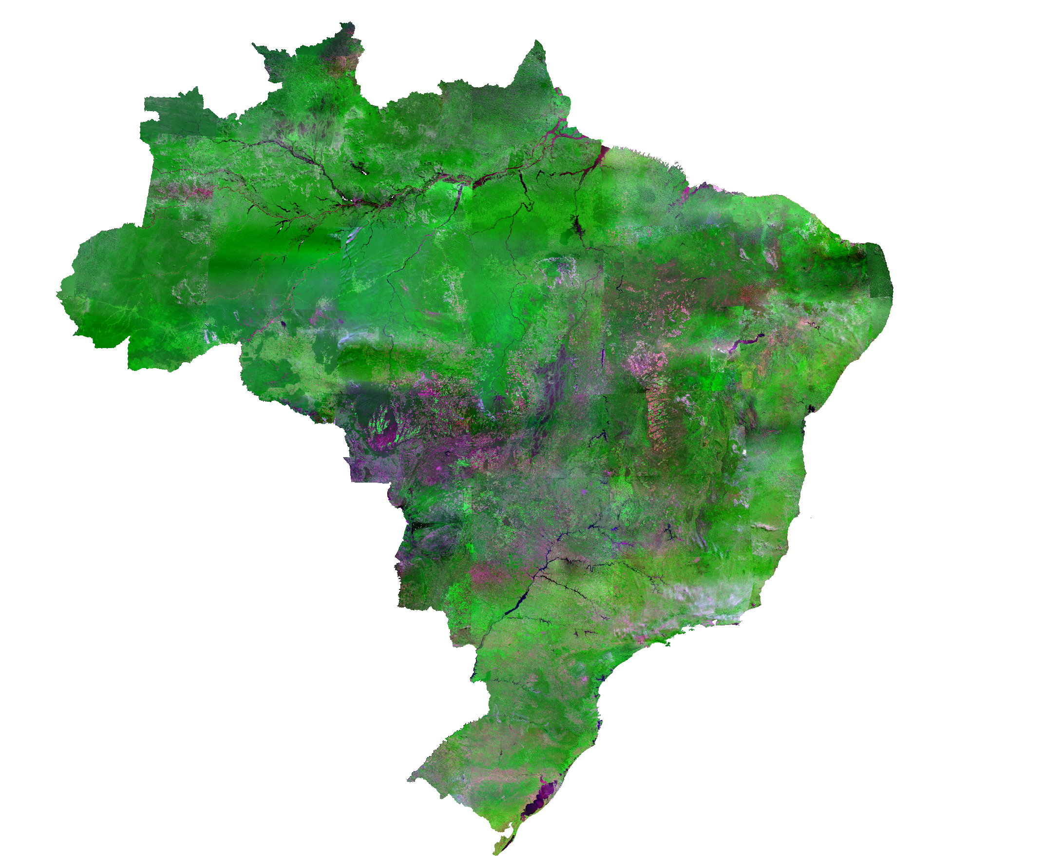
The CBERS-4 WFI Brazil Mosaic covers the entire Brazilian territory. The mosaic uses surface reflectance images from the CBERS satellite, a WFI imaging camera (or sensor) with 64 meters of spatial resolution. It is a composition of images from April to June 2020, selecting the best pixel within the period. The final product is an RGB color composite with the red (B15), NIR (B16), and blue (B13) bands.