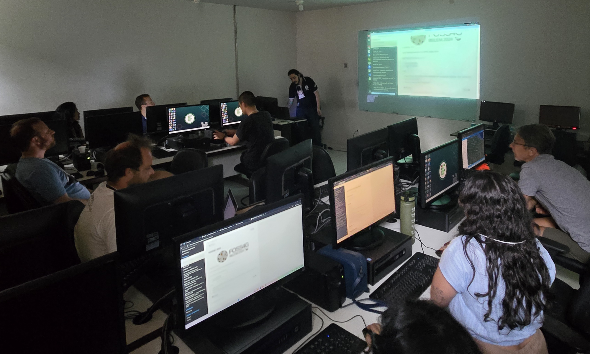
Brazil Data Cube team organises Workshop at FOSS4G 2024 in Belém, Pará
The Brazil Data Cube (BDC) team organized a workshop to promote hands-on activities on concepts of Earth Observation data cubes and satellite image time series analysis during the first edition of FOSS4G in Latin America, held in Belém, Pará (PA), from December 2 to 8, 2024.
FOSS4G is the acronym for Free and Open Source Software for Geospatial. It is the annual global event hosted by OSGeo, the nonprofit organization that supports and promotes the collaborative development of open-source geospatial technologies and open geospatial data. This was the first time the FOSS4G conference was held in person in Latin America.
The workshop addressed data products and software tools for handling large datasets, extracting satellite image time series from Earth Observation data cubes, and generating land use and land cover information using machine learning.
Demonstrations and practical activities were conducted with key tools such as BDC Explorer, TerraCollect, the R package for Satellite Image Time Series (SITS), and web services like the SpatioTemporal Asset Catalog (STAC), Web Time Series Service (WTSS), and Web Land Trajectory Service (WLTS).
Event Page: https://2024.foss4g.org/pt/.
Workshop content is available at: https://brazil-data-cube.github.io/foss4g-2024.html.


