Brazil Data Cube gives mini-course at ISPRS Technical Commission III Mid-term Symposium on Remote Sensing
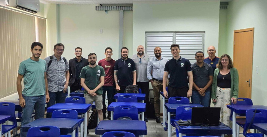
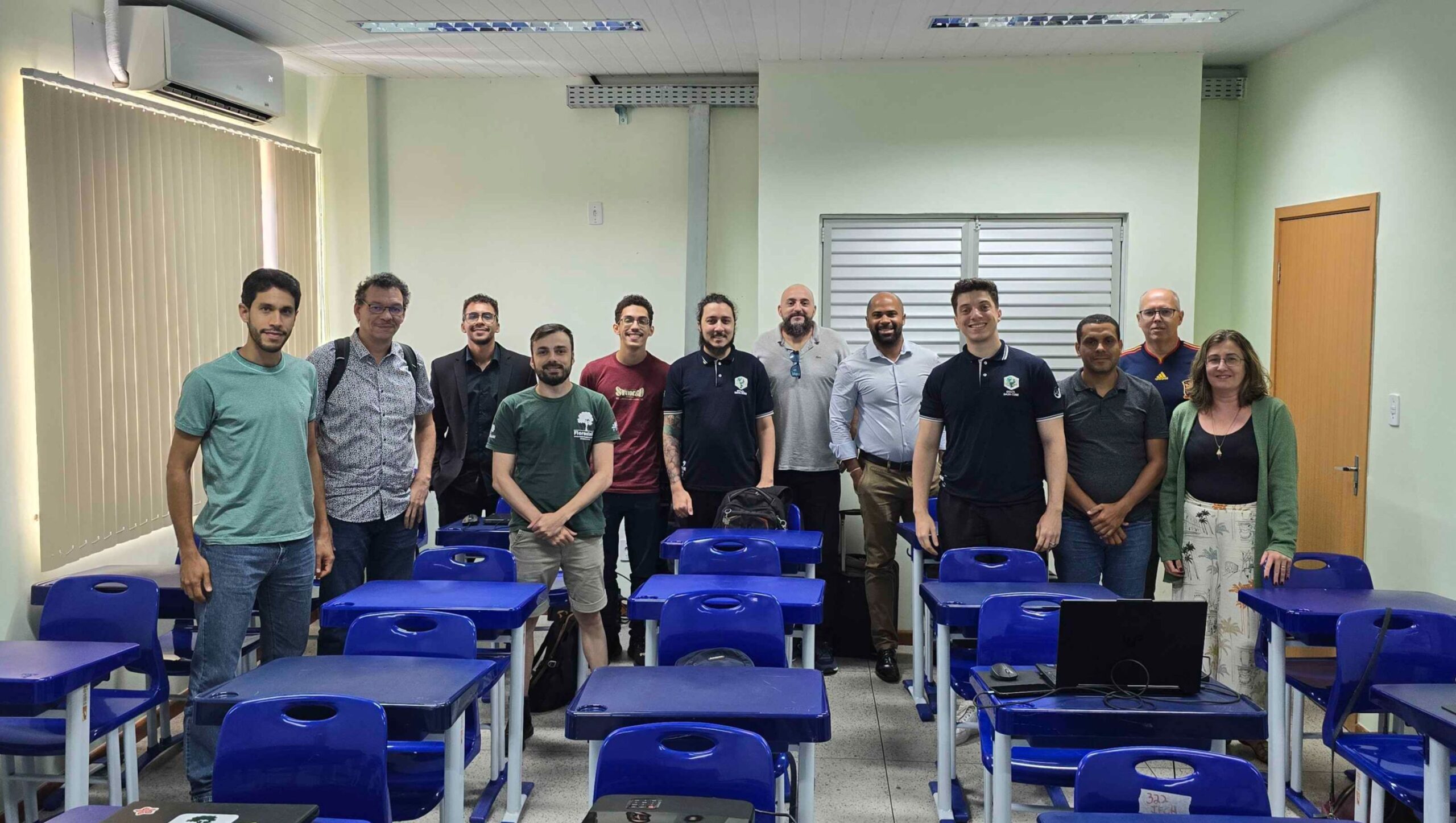
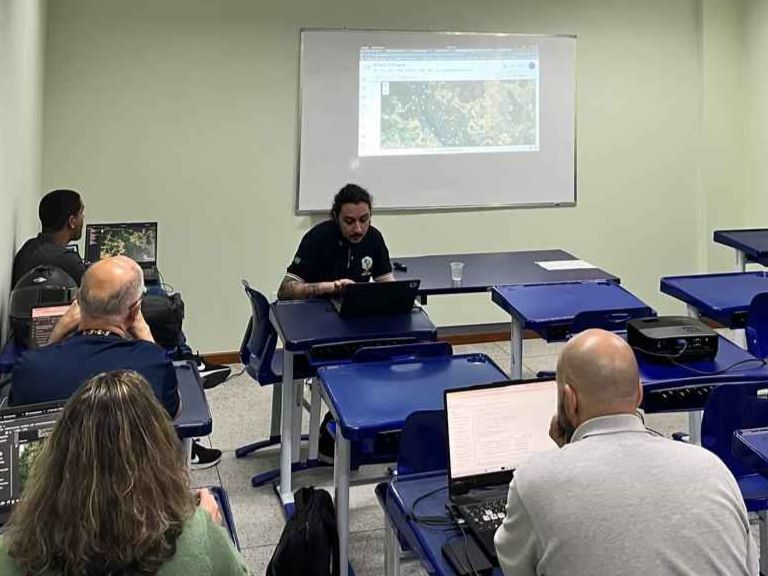
The Brazil Data Cube (BDC) team gave a course on Earth observation data cube concepts and remote sensing image time series analysis at the ISPRS Technical Commission III Mid-term Symposium on Remote Sensing, on November 4 in Belém (PA).
The ISPRS Technical Commission is dedicated to discussing remote sensing technologies and applications. The symposium, which took place in Belém (PA) from 4 to 8 November 2024, was organized in conjunction with the Latin American Symposium on Remote Sensing (SELPER) and included tutorials and thematic workshops, such as South America Water from Space IV and Geo-Information for Disaster Management (Gi4DM).
The symposium covered topics from satellite image acquisition and processing techniques to a wide range of scientific and social applications, with an emphasis on monitoring the climate, the environment and tropical regions, including the Amazon. Specific sessions discussed new space missions, such as SWOT and Biomass.
The course offered by the BDC aimed to introduce the main concepts of the project, with a theoretical part and a hands-on practical part (in R and Python) using the software packages developed by the project. The products generated by the BDC were presented, such as the data cube, tools for accessing and discovering this data, the extraction of time series and the extraction of land use and land cover trajectories. Also presented was the SITS (Satellite Image Time Series) package in R for generating land use and land cover maps from image time series using machine learning.
The course was aimed at students, researchers, teachers or company employees who work with extracting information from Earth observation satellite images.
The content is available at: https://brazil-data-cube.github.io/isprs-2024.html.


