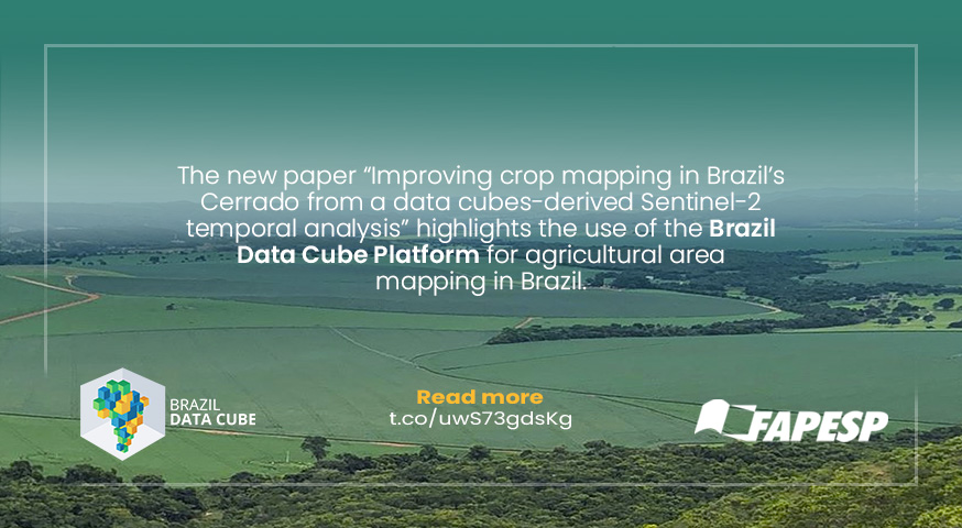
Brazil Data Cube platform for crop mapping
The new paper “Improving crop mapping in Brazil’s Cerrado from a data cubes-derived Sentinel-2 temporal analysis”, published by the researchers Michel Chaves and Ieda Sanches, highlights the use of the Brazil Data Cube Platform for agricultural area mapping in Brazil.
Based on spectral indices extracted from Sentinel-2/MSI satellite data cubes with temporal resolution of five days and spatial resolution of 10 meters, the researchers mapped the agricultural belt of the Cerrado, located in western Bahia, using the technologies of the Brazil Data Cube platform.
In the previous work, the researchers had already demonstrated the feasibility of the Sentinel-2/MSI satellite data cubes produced by the Brazil Data Cube project to enhance the level of detail in Cerrado mappings. In the new article, the accuracy increased from 88% to 96%.
Chaves says to FAPESP, ‘These satellite images generate big data, requiring processing that can be time-consuming and can only be done on more advanced computers. Data cubes reduce the size and time of these steps. […]’
Access the full news on the FAPESP Agency’s website.
Source: Brazil Data Cube Team. Luciana Constantino/FAPESP Agency.
Photo: Marcos Adami/INPE.


