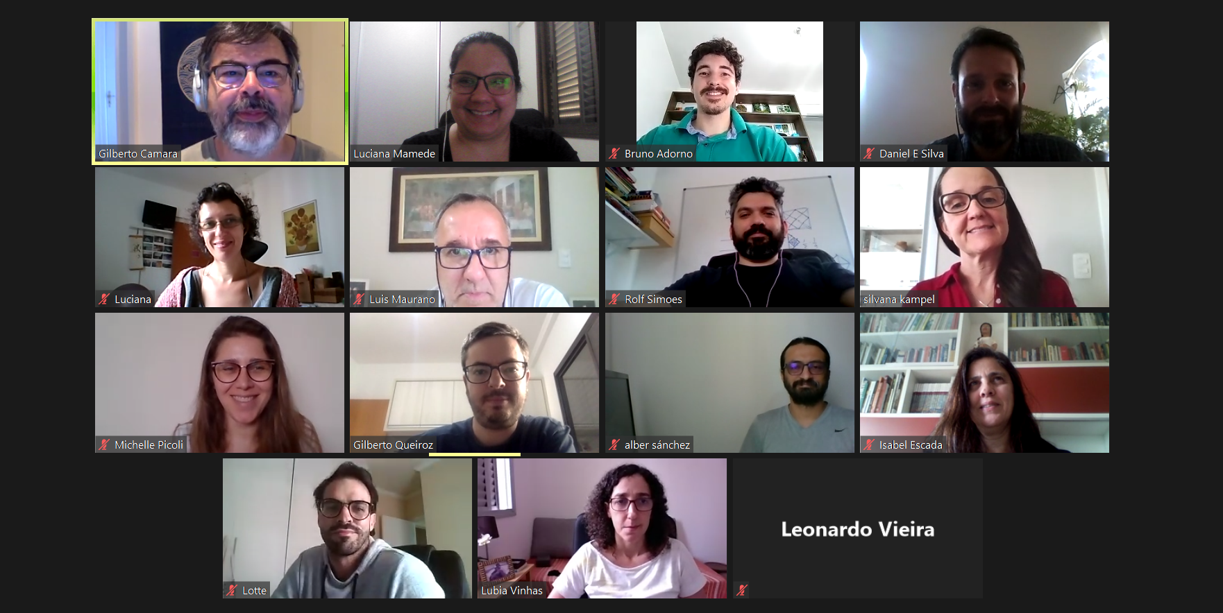
Virtual hands-on training on the classification of time series of images
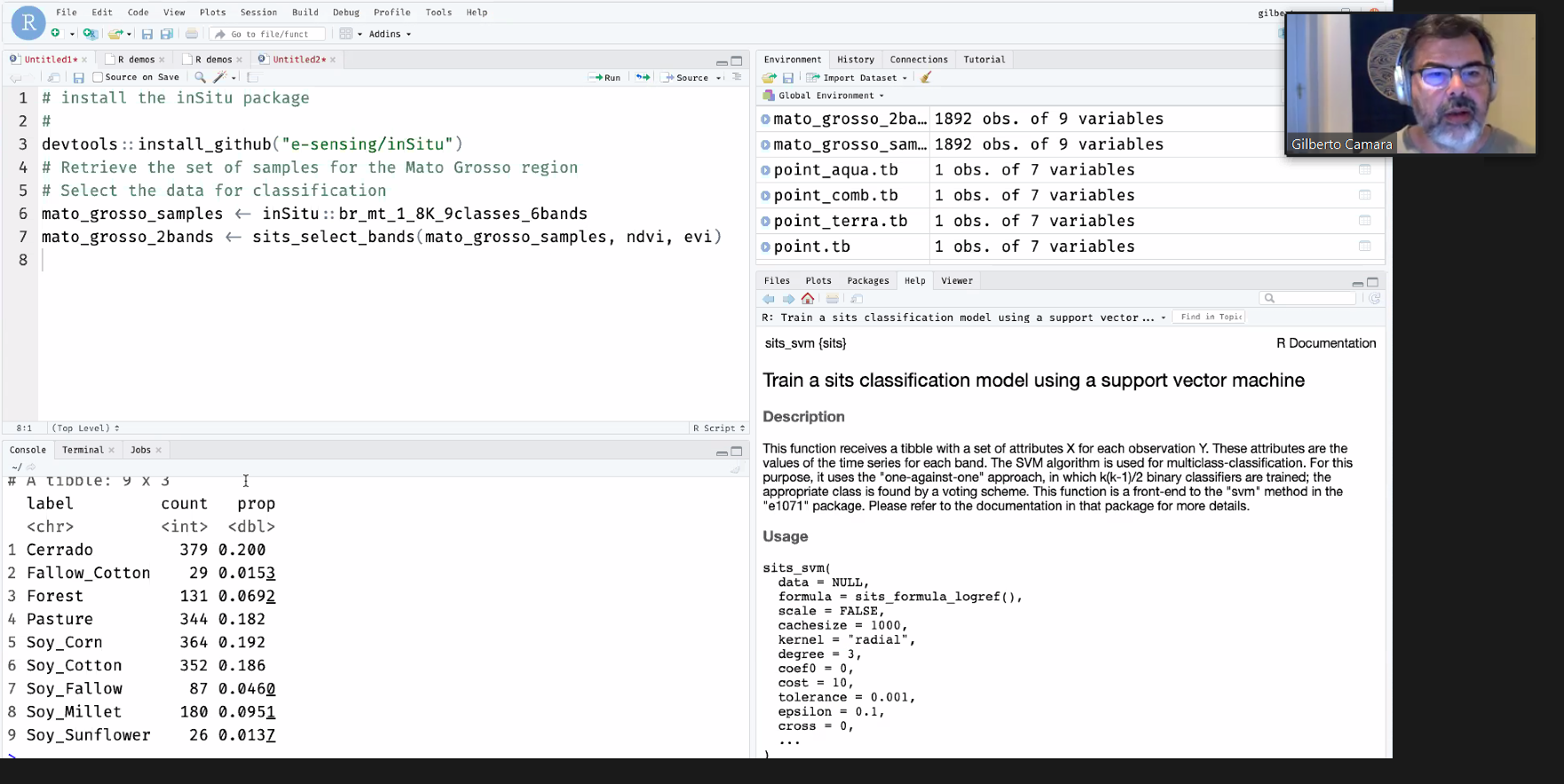
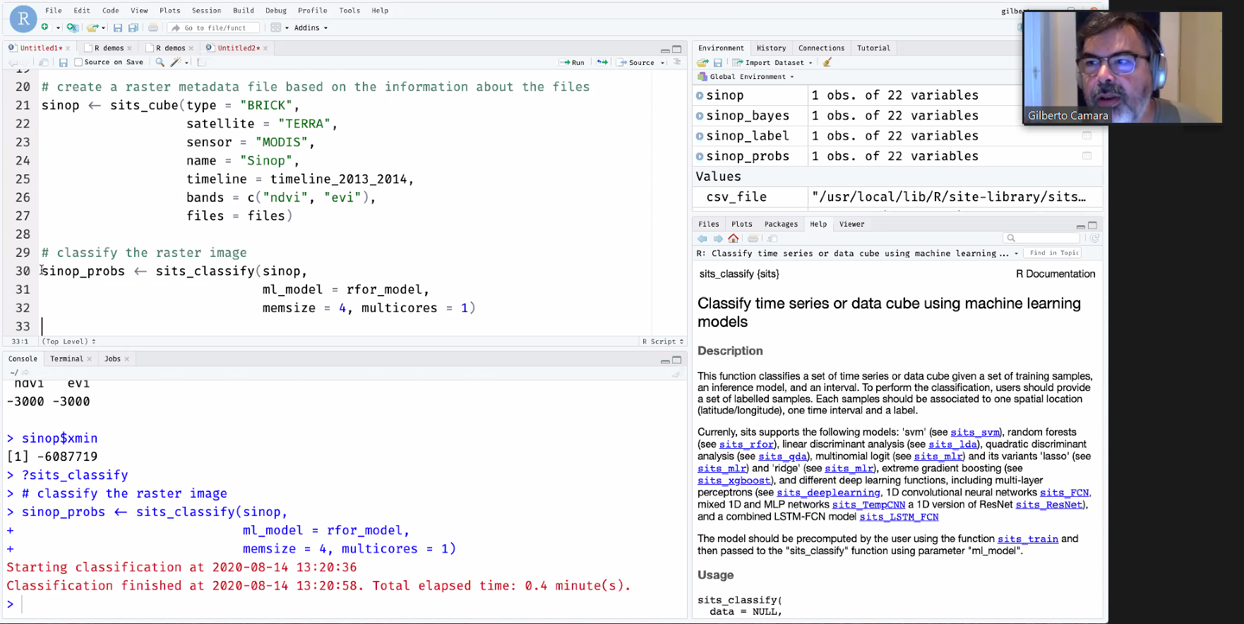
On August 12, 13 and 14, 2020, the Brazil Data Cube project team conducted a virtual hands-on training on the classification of remote sensing image time series using the R package for Satellite Image Time software package Series (SITS).
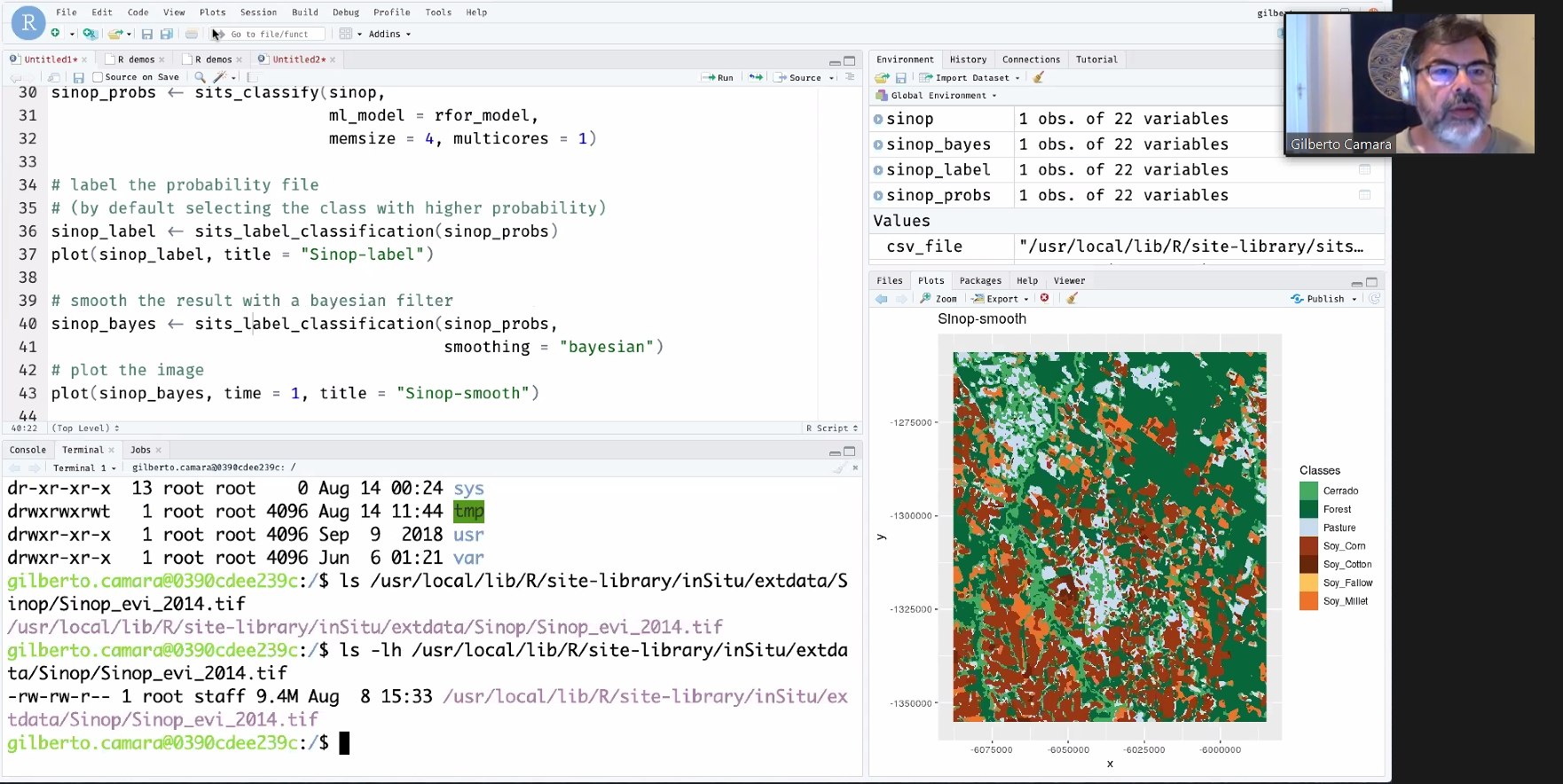
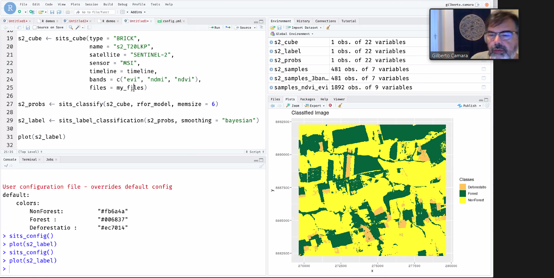
The training was coordinated by Dr Gilberto Camara with support from the Brazil Data Cube (BDC) team members Alber Sanchez, Gilberto Queiroz, Felipe Carlos, Michelle Picolli and Rolf Simões. The training aimed at demonstrating, in a practical way, the use of the SITS package, using MODIS and Sentinel images. Members of the PRODES project team, graduate students in Remote Sensing and INPE researchers attended the trainning.
This was the first of two trainings planned for this month, to disseminate the use of SITS to process the data cubes generated in the BDC project.
The SITS package allows the retrieval of time series of satellite images using geographic services and methods for their visualization, analysis and processing. Different methods of classifying time series, using machine learning, are available in the package.
To learn more about SITS visit github.com/e-sensing.
Source: Brazil Data Cube project.


