Data Cube Explorer is a web portal designed for the visualization of image products generated by the BDC project, including collections, data cubes, classifications, and mosaics.
Through an interactive map interface, users have the capability to view, explore, and download images using spatio-temporal search functionalities. The portal offers various viewing options allowing for RGB composition of images based on different bands, along with controls for opacity, saturation, and contrast adjustments. Additionally, it incorporates a comparison tool facilitating visual analysis of distinct images across two different time periods. Furthermore, the web portal provides graphical representations of land use and cover trajectories, as well as time series of images sourced respectively from Brazil Data Cube’s WLTS and WTSS services.
BDC Explorer features and functionalities
Data Cube Explorer facilitates large-scale data retrieval onto the platform, enabling users to download specific images or entire sets from a given image collection, data cube, classification, or mosaic.
Currently operating on version 1.4.0, this system implements comprehensive user access control mechanisms through an authentication system developed by the Brazil Data Cube team.

Associated publications
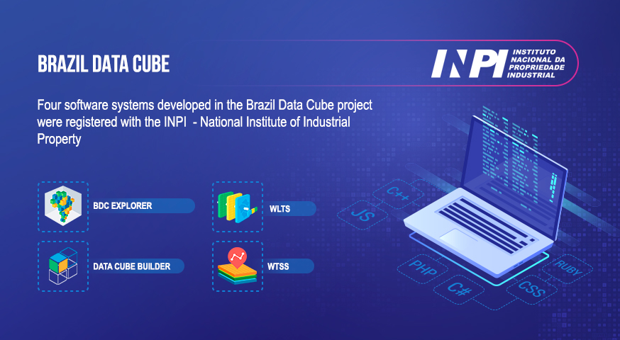
The Brazil Data Cube team has just registered four software systems developed in the project with the National Institute of Industrial Property (INPI). The number of computational systems registered with INPI is one of the productivity indicators of the National Institute for Space Research (INPE) and its postgraduate courses. The registered systems are: (1) Web …


