Field Work – Luís Eduardo Magalhães/BA
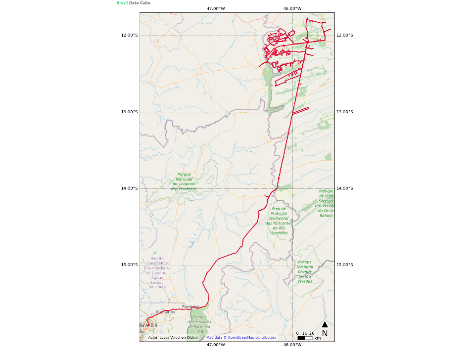
Between July 20-24, 2020, collaborators of Brazil Data Cube Project carried out field work to collect samples in field to support project activities.
Lucas Oldoni, doctoral student in Remote Sensing and José Guilherme Fronza, research associate of the project, master in Remote Sensing, both from Brazil’s National Institute for Space Research (INPE), traveled about 2904 km, leaving from Brasília, DF to the Luis Eduardo Magalhães region, in the west of the state of Bahia.
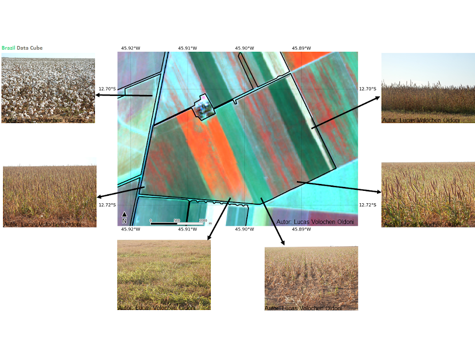
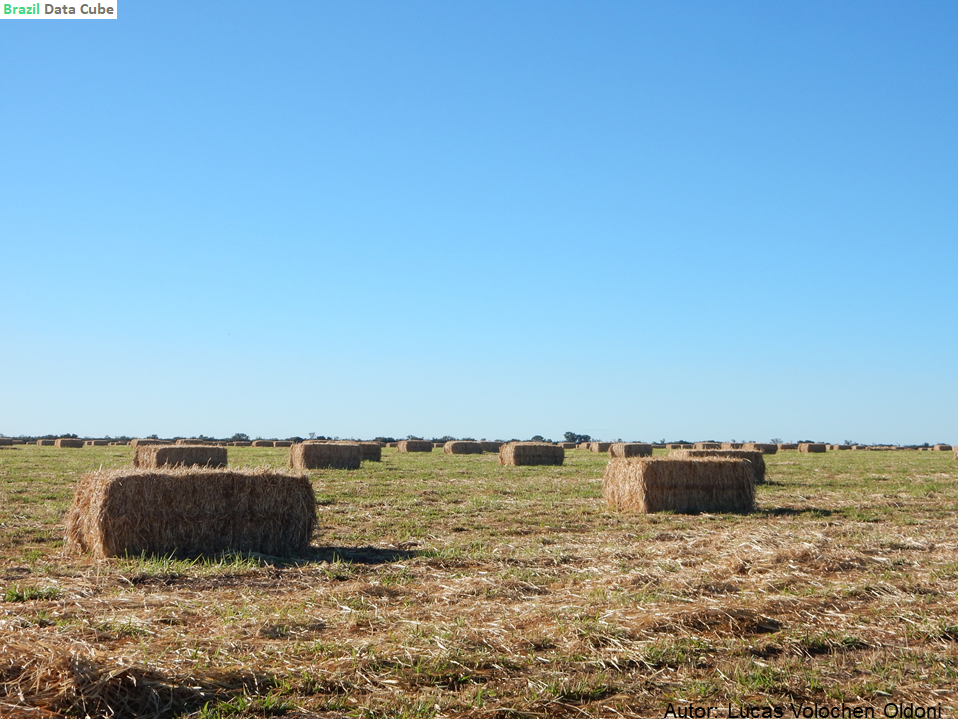
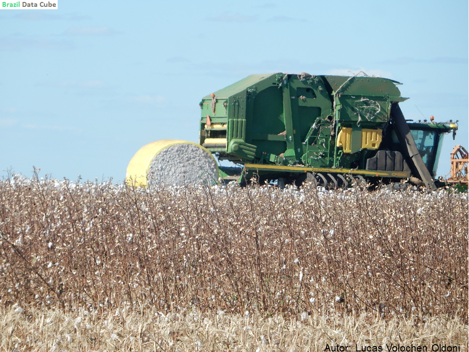
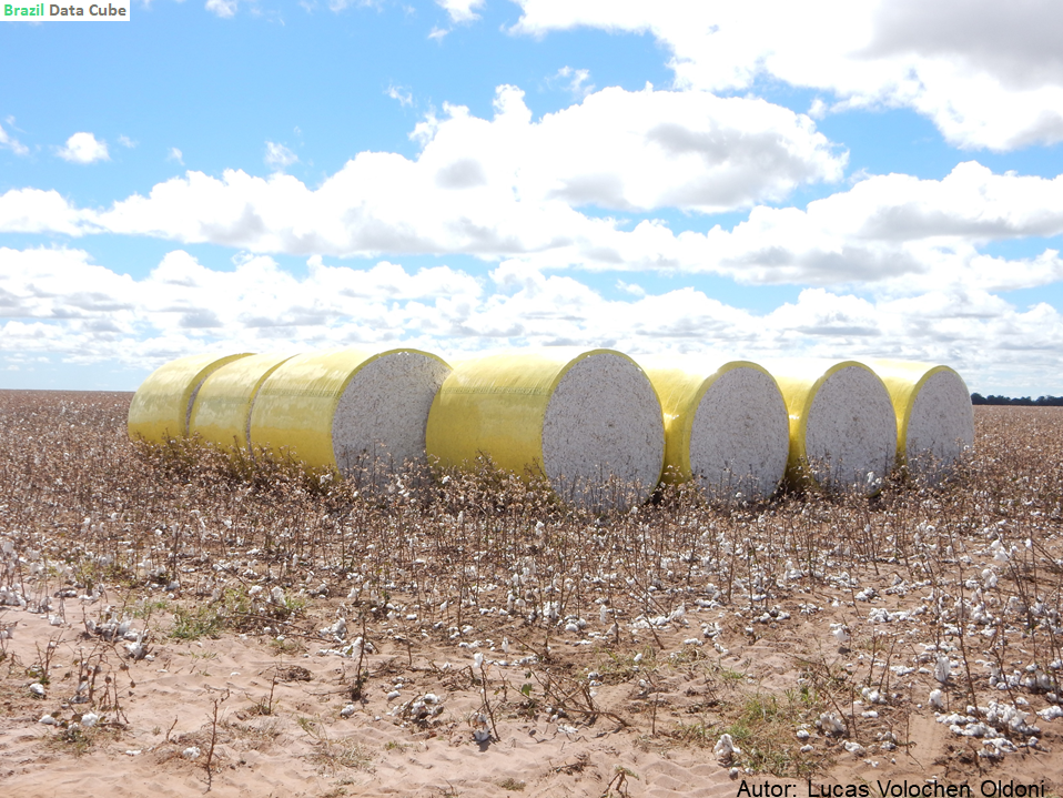
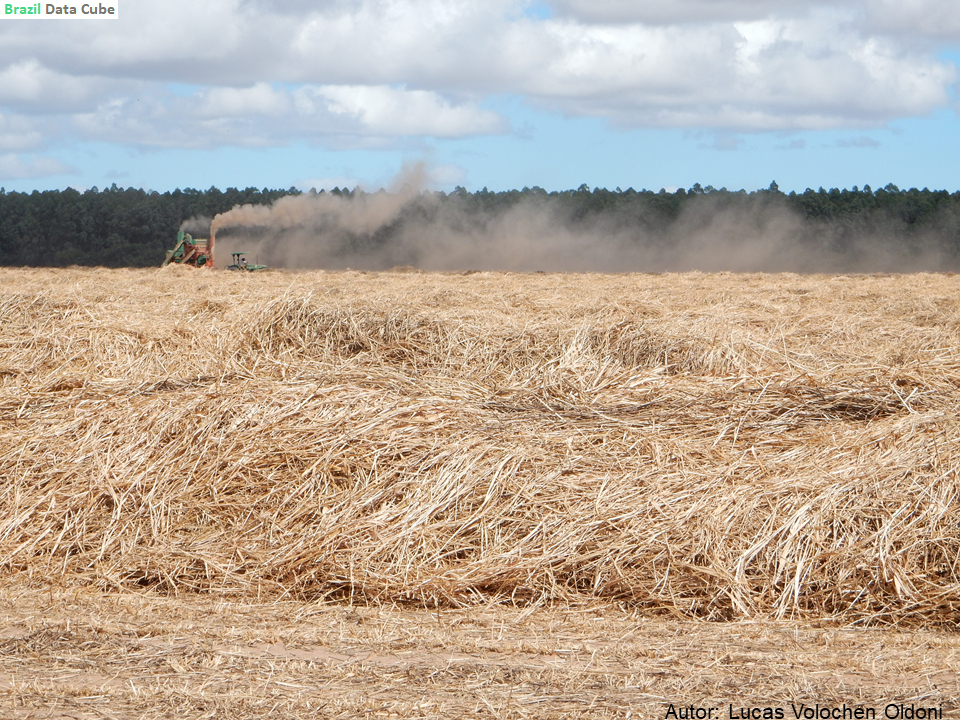
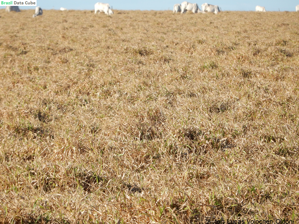
In the five days of work, points and photos of areas cultivated with cotton, corn, sorghum, millet, coffee, brachiaria, among others, were collected.
The work is a continuation of the survey carried out in march/2020 to understand the dynamics of the cultures that will be analyzed later by time series.
The collected samples will be used to train images classification algorithms and integrate sample database of the project that is being built with a system to facilitate researchers and students access, analysis and use this samples in automatic classifications processes using data cubes of the project.
Below we can see some images and photos of the field work:


