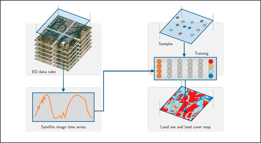
Classified land cover and land use maps generated automatically with artificial intelligence algorithms.
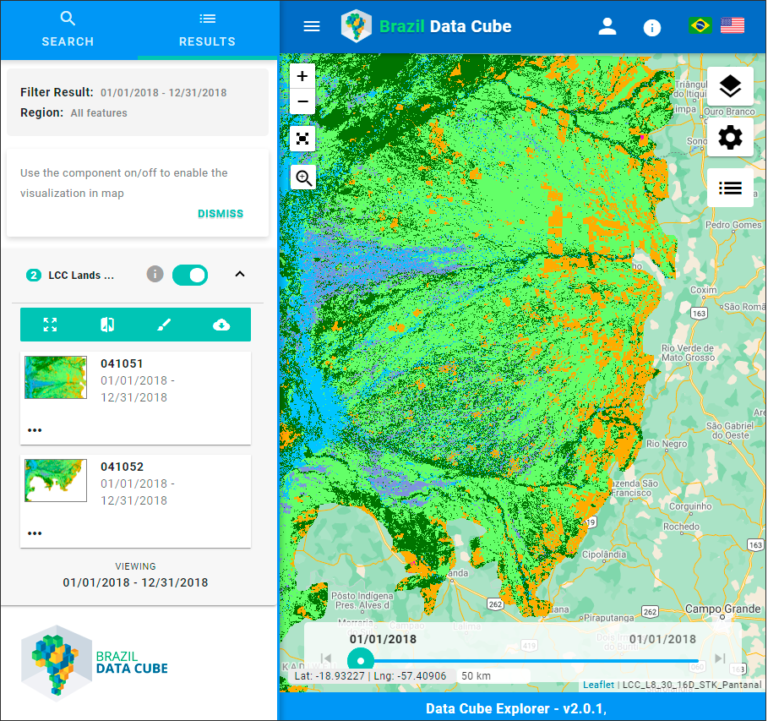
The Brazil Data Cube project proposes the usage of data cubes prepared from remote sensors on board of the satellites Aqua, Terra, Landsat 8, Sentinel-2 and CBERS 4. These data cubes improve the amount of information about the dynamics of Land Use and Land Cover in Brazil that can be extracted by means of Machine Learning and Time Series analysis
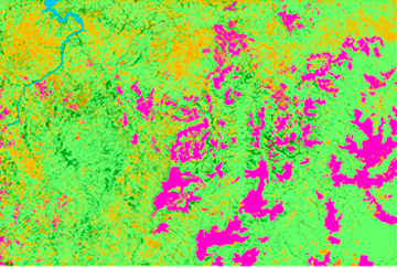
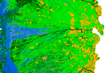
Using the data cubes made of images from Landsat 8 and Sentinel-2 (collections LC8_30_16D_STK & SEN2COR_10_16D_STK), we generated Land Use and Land Cover maps for 3 Brazilian biomes: Amazônia, Cerrado, and Pantanal (Figure 1). These classification were made using two R packages (Ihaka & Gentleman, 1996): sits (v0.12.0) for classifying (Simões et al., 2021a) and rstac (Simões et al., 2021a) to exchange data over the Internet.
The samples used for training the classification models were collected in different ways: (1) in situ, that is by making field inspections; (2) by visual interpretation of Remote Sensing imagery with help of BDC’s staff or other specialists; and (3) by matching already existing Land Use and Land Cover maps.
Classified maps
The classified maps along with their metadata are available at BDC’s Internet portal and they are available at:
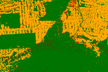
(deforestation)
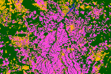
(use and coverage)

Associated publications
by Rolf Simoes¹; Felipe Carvalho de Souza¹; Matheus Zaglia¹; Gilberto Ribeiro de Queiroz¹; Rafael D. C. dos Santos¹; Karine Reis Ferreira¹ 1Earth Observation and Geoinformatics Division, National Institute for Space Research (INPE), Avenida dos Astronautas, 1758, Jardim da Granja, Sao Jose dos Campos, SP 12227-010, Brazil DOI: https://doi.org/10.1109/IGARSS47720.2021.9553518 Publisher: IEEE | 12 October 2021 Published in: 2021 IEEE International Geoscience and Remote Sensing …
Continue reading “Rstac: An R Package to Access Spatiotemporal Asset Catalog Satellite Imagery”
by Rolf Simoes 1 , Gilberto Camara 1, Gilberto Queiroz 1, Felipe Souza 1, Pedro R. Andrade 1, Lorena Santos 1, Alexandre Carvalho 2 and Karine Ferreira 1 1National Institute for Space Research (INPE), Avenida dos Astronautas, 1758, Jardim da Granja, Sao Jose dos Campos, SP 12227-010, Brazil 2National Institute for Applied Economics Research, SBS, Quadra 1 Bloco J, Brasília, DF 70076-900, Brazil Remote Sens. 2021, 13(13), …
Continue reading “Satellite Image Time Series Analysis for Big Earth Observation Data”
Ihaka, R., & Gentleman, R. (1996). R: A Language for Data Analysis and Graphics. Journal of Computational and Graphical Statistics, 5(3), 299. https://doi.org/10.2307/1390807
Some articles on land use and land cover classification that used the products generated by the BDC project:
Chaves, M. E. D., Soares, A. R., Sanches, I. D., & Fronza, J. G. (2021). CBERS data cubes for land use and land cover mapping in the Brazilian Cerrado agricultural belt. International Journal of Remote Sensing, 42(21), 8398–8432. https://doi.org/10.1080/01431161.2021.1978584
Picoli, M. C. A., Simoes, R., Chaves, M., Santos, L. A., Sanchez, A., Soares, A., Sanches, I. D., Ferreira, K. R., & Queiroz, G. R. (2020). CBERS DATA CUBE: A POWERFUL TECHNOLOGY FOR MAPPING AND MONITORING BRAZILIAN BIOMES. ISPRS Annals of Photogrammetry, Remote Sensing and Spatial Information Sciences, V-3–2020(3), 533–539. https://doi.org/10.5194/isprs-annals-V-3-2020-533-2020
Simoes, R., Picoli, M. C. A., Camara, G., Maciel, A., Santos, L., Andrade, P. R., Sánchez, A., Ferreira, K., & Carvalho, A. (2020). Land use and cover maps for Mato Grosso State in Brazil from 2001 to 2017. Scientific Data, 7(1), 34. https://doi.org/10.1038/s41597-020-0371-4


