Paper published by the Brazil Data Cube team
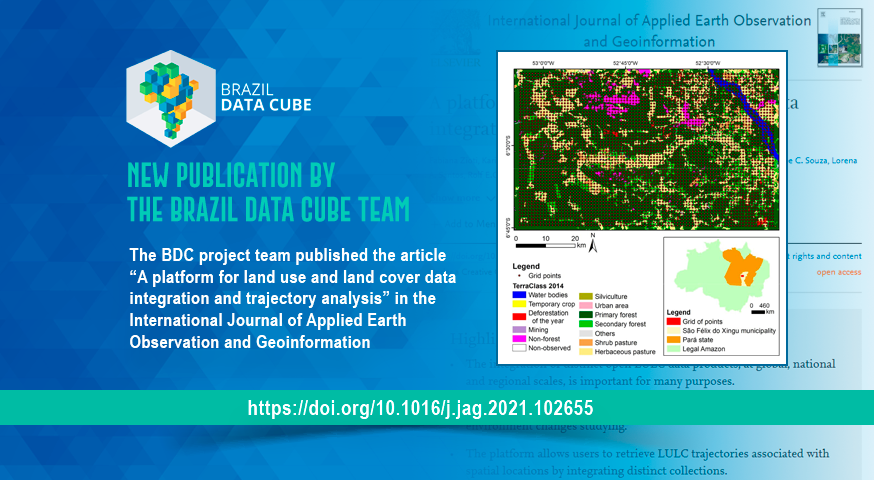
The BDC project team published the paper “A platform for land use and land cover data integration and trajectory analysis” in the International Journal of Applied Earth Observation and Geoinformation (Impact Factor: 5.9).
The paper presents a platform that allows users to access land use and land cover (LULC) collections from distinct sources, map their distinct classification systems, and retrieve LULC trajectories associated with spatial locations by integrating these collections. This plataform is being developed by the BDC team.
Access: https://www.sciencedirect.com/science/article/pii/S0303243421003627
Source: Brazil Data Cube team.


