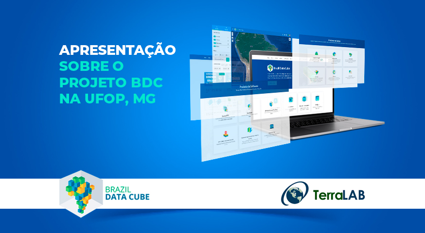
Presentation today about the BDC project at UFOP, MG.
The BDC team will present today, the 14th, at 3:00 pm, the computational platform, data products and software that are being developed in the project using artificial intelligence, machine learning and image time series analysis, to the TerraLAB research group from the Federal University of Ouro Preto.
TerraLAB is the laboratory for Modeling and Simulation of Earth Systems. The result of a partnership between the National Institute for Space Research (INPE) and the Federal University of Ouro Preto (UFOP), the TerraLAB laboratory develops computing systems aimed at geoprocessing and spatial dynamic modeling. Together, TerraLab and INPE co-developed the TerraME tool, which allows dynamic spatial modeling of the Earth’s surface.
Source: Brazil Data Cube Project


