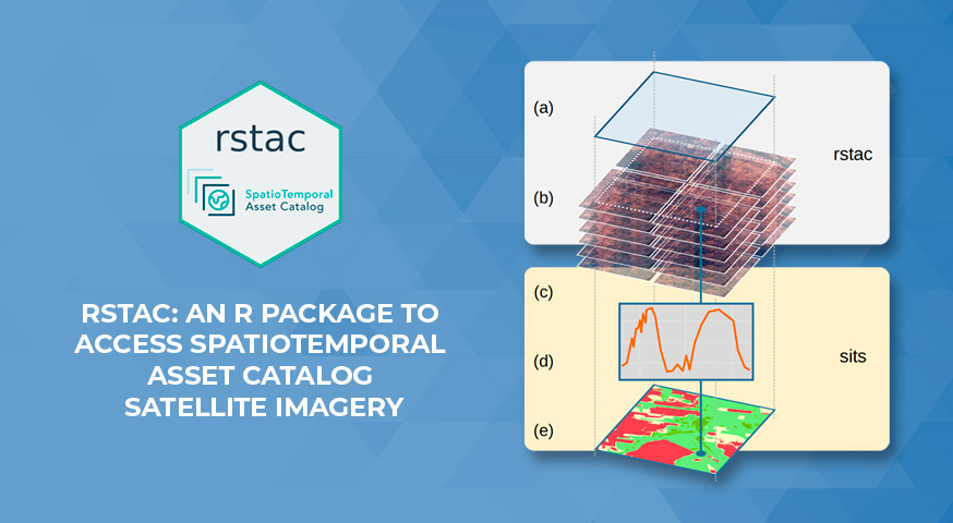
Rstac: An R Package to Access Spatiotemporal Asset Catalog Satellite Imagery
by Rolf Simoes¹; Felipe Carvalho de Souza¹; Matheus Zaglia¹; Gilberto Ribeiro de Queiroz¹; Rafael D. C. dos Santos¹; Karine Reis Ferreira¹
1Earth Observation and Geoinformatics Division, National Institute for Space Research (INPE), Avenida dos Astronautas, 1758, Jardim da Granja, Sao Jose dos Campos, SP 12227-010, Brazil
DOI: https://doi.org/10.1109/IGARSS47720.2021.9553518
Publisher: IEEE | 12 October 2021
Published in: 2021 IEEE International Geoscience and Remote Sensing Symposium IGARSS
Abstract
Every day, several Earth observation satellites produce images from around the world. Cloud computing is becoming the main location where all these satellite images are being stored and distributed. This document features an R-package that implements a SpatioTemporal Assets Catalog API client that allows querying and access to a growing set of global satellite imagery providers.
Keywords: STAC, Big Earth Observation Data, R Package
Share and Cite
R. Simoes, F. C. de Souza, M. Zaglia, G. R. de Queiroz, R. D. C. dos Santos and K. R. Ferreira, “Rstac: An R Package to Access Spatiotemporal Asset Catalog Satellite Imagery,” 2021 IEEE International Geoscience and Remote Sensing Symposium IGARSS, 2021, pp. 7674-7677, doi: 10.1109/IGARSS47720.2021.9553518.


