
Three software systems developed in the Brazil Data Cube project have been registered with the INPI (National Institute of Industrial Property)
The Brazil Data Cube (BDC) project, developed in the Earth Observation and Geoinformatics Division (DIOTG) and associated with the Georeferenced Information Base (BIG) Strategic Project, has just registered three more software systems with the National Institute of Industrial Property (INPI). The number of computer systems registered with the INPI is one of the productivity indicators of INPE and its graduate programs.
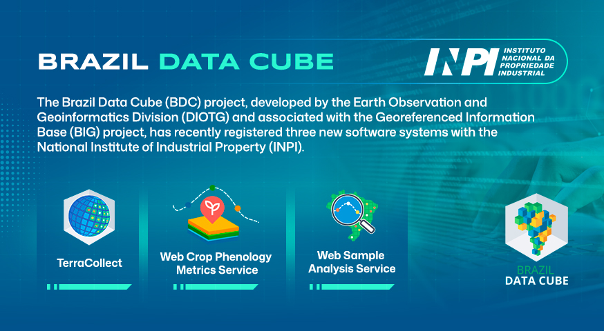
The systems registered were:
(1) TerraCollect: Web platform for collecting and analyzing land use and land cover samples based on the visualization of satellite images and time series. It is an essential tool for INPE’s Environmental Monitoring Programs, supporting national projects such as PRODES and TerraClass.
(2) Web Sample Analysis Service (WSAS): Service that integrates the methods of sample analysis based on satellite image time series. WSAS facilitates the production of higher quality samples, optimizing the process of preparing data for machine learning models and promoting greater efficiency and consistency in the collection and analysis stages.
(3) Web Crop Phenology Metrics Service (WCPMS): A web service for calculating phenological metrics from time series derived from Earth observation data cubes. Simply put, analysts enter a location or region and WCPMS retrieves the phenological metrics associated with it.
All these softwares are free, open source and available on the project’s GitHub.