
Training of the Brazil Data Cube Platform for the BiomasBR Team
During the week of June 17-21, 2024, the Brazil Data Cube (BDC) project team conducted a course for professionals, including interpreters, auditors, and developers, from the Satellite Monitoring Program of Brazilian Biomes (BiomasBR) of the National Institute for Space Research (INPE). This course took place at the LabGeo Laboratory from Division of Earth Observation and Geoinformatics (DIOTG) and it aimed to present the data products and the processing and analysis tools of the Brazil Data Cube Platform. The course had a duration of 20 hours and was attended by an audience of 46 people.
The course included theoretical classes and practical activities using the remote sensing images modeled as multidimensional data cubes as data products, besides tools and softwares developed by BDC project, such as the STAC, WTSS, and WLTS web services for discovering and accessing Earth Observation Data Cubes (EO Data Cubes) and extracting image time series and land use and cover trajectories. For the practical part of the course, these services were explored using their clients in Python and R. The BDC Explorer web portal and the TerraCollect tool were also covered in the training.
Participants performed all practical activities in the BDC-Lab environment (Brazil Data Cube Geospatial Data Science Lab). BDC-Lab is a data science environment with a Jupyter based graphical interface that allows the development of scripts in R and Python. BDC-Lab allows access and processing of large volumes of data using web services and data analysis packages with artificial intelligence techniques. This platform is already operational, running at COIDS (Data Infrastructure and Supercomputing Coordination), and being used by INPE team and fellows as well as partners from other public institutions such as EMBRAPA and IBGE.
The course also covered recent methodologies using artificial intelligence, machine learning, and time series image analysis techniques for land use and cover classification. The practical part was made in Python and R using the SITS, a Satellite Image Time Series R Package with methods to access data using SOM Clustering and generate land use and cover Maps.
The content is available at: https://brazil-data-cube.github.io/treinamento-2024.html.
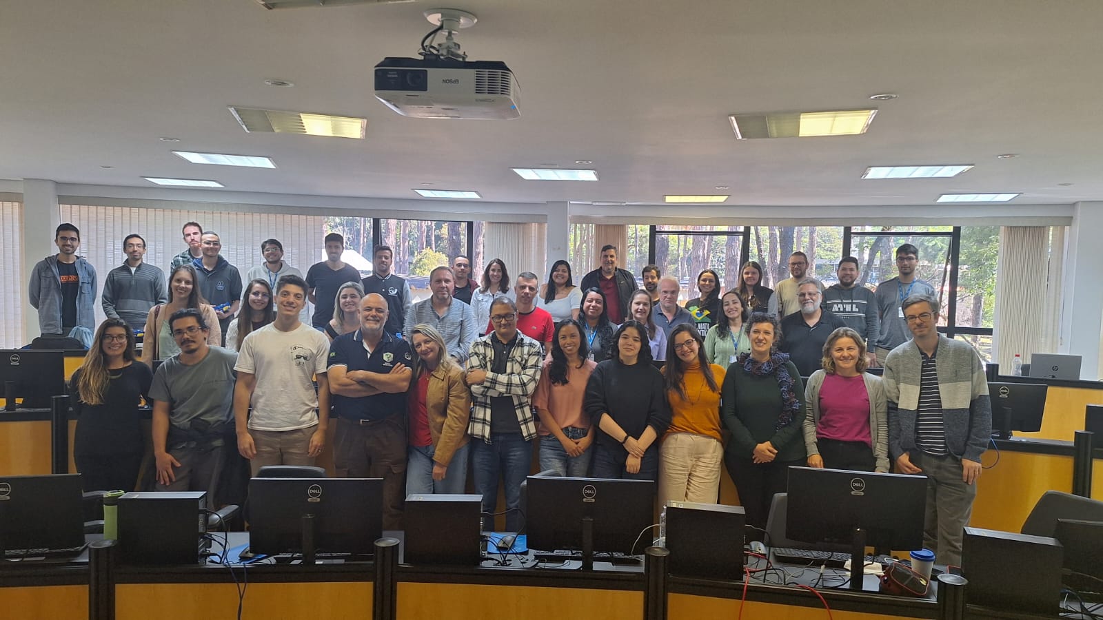
 BDC team and professionals from the Brazilian Biomes Satellite Monitoring Program (BiomasBR)


