Slide 1

Production, visualization and analysis of large volumes of remote sensing images modeled as multidimensional data cubes for the entire Brazilian territory.

BDC team will attend the IGARSS-2021 Symposium this week

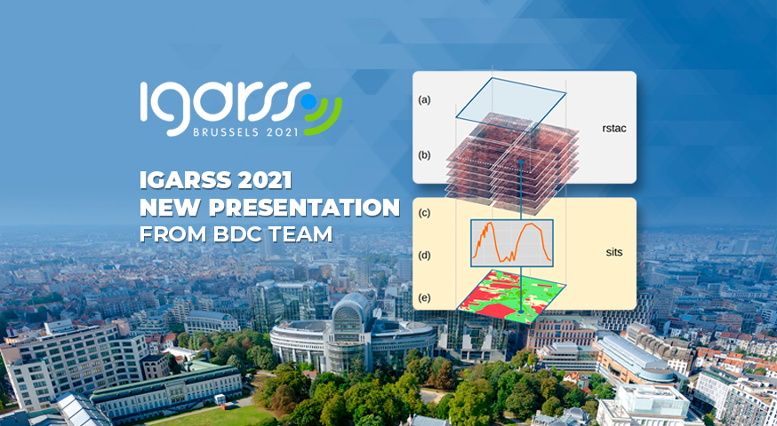
The BDC team will attend on July 13th the International Geoscience and Remote Sensing Symposium (IGARSS-2021) presenting the paper “RSTAC: An R package to access spatiotemporal asset catalog satellite imagery”. The package provides functions to access, search and download spacetime earth observation data via STAC and is published in the CRAN.’ The paper and presentation will be …

Live demonstration of SITS with SEPAL platform in the GEO-GFOI Workshop

The BDC team will present tomorrow (June, 16th) in the GEO-GFOI Workshop a live demonstration of the R package SITS (Satellite Image Time Series Analysis) running in the SEPAL platform. SITS is an open source R package for satellite image time series analysis and machine learning. It supports the complete cycle of data analysis for …

The BDC team attended on April 15th the CSIRO event “Exploring the value and challenges of using Earth Observation Data”

The BDC team presented on April 15th the project activities in the ‘Exploring the value and challenges of using Earth Observation Data’. The workshop was aimed at members of various related organizations around EO, in countries throughout the Americas. More information at: https://welcu.com/csiro-cl/observacion-de-la-tierra Source: Brazil Data Cube Project

The BDC team presented on April 15th the project activities using AWS in the ‘AWS Public Sector Summit Online 2021’.

The BDC team presented on April 15th the project activities in the ‘AWS Public Sector Summit Online 2021’. At the roundtable, the BDC team will talk about their experience using AWS services to develop the Data cube builder application, which is part of the Brazilian Earth Observation Data Cube. More information at: https://aws.amazon.com/pt/events/summits/online/public-sector/ Source: Brazil …

The Brazil Data Cube team presented a Knowledge Package in 2nd GEO Knowledge Hub webinar.

The Brazil Data Cube (BDC) team from the National Institute for Space Research (INPE) presented a deep dive into the Land Use/Land Cover Classification Knowledge Package developed by project, in the 2nd GEO Knowledge Hub (GKH) Webinar. The event was organized by the Group on Earth Observations (GEO) and held virtually today. See the webinar …

The Brazil Data Cube team presented its products based on AWS in the GEO-AWS EO Cloud Credits Webinar

The BDC team presented the partial results of the project “Brazilian Earth Observation Data Cube using AWS for Land Use and Cover Change” in the GEO-AWS EO Cloud Credits webinar. The webinar was held this week from 22 to 25 March 2021. The BDC team presented its software applications and services that run on AWS, …

The Brazil Data Cube team presented a case study in the first GEO Knowledge Hub (GKH) webinar.

The Brazil Data Cube (BDC) project team from the National Institute for Space Research (INPE) presented a case study in the first GEO Knowledge Hub (GKH) webinar. The event was organized by the Group on Earth Observations (GEO) and held virtually on February 24, 2021. The title of the case study is “Land use and …

GEO-INPE Webinars on Brazil’s forest monitoring system

The Group on Earth Observations (GEO) is hosting a series of webinars describing Brazil’s Amazon monitoring system, the tools used and the recent technological advances by Brazil’s National Institute for Space Research (INPE). The webinars will address the following topics: The PRODES system: history, operation, data dissemination and use. The DETER system: history, operation, data …

Brazil Data Cube - 2019 - 2024