
Prodes
Annual Monitoring of Native Vegetation Suppression
Prodes is INPE’s annual remote sensing system for monitoring native vegetation suppression. It produces official maps and data on native vegetation loss across all Brazilian biomes.
In 1988, the Prodes project — Satellite-based Monitoring of Deforestation in the Brazilian Amazon Forest — was established to map clear-cut deforestation in the Brazilian Legal Amazon and produce annual deforestation rates for the region. These data were, and continue to be, used by the Brazilian government to support the development of public policies.
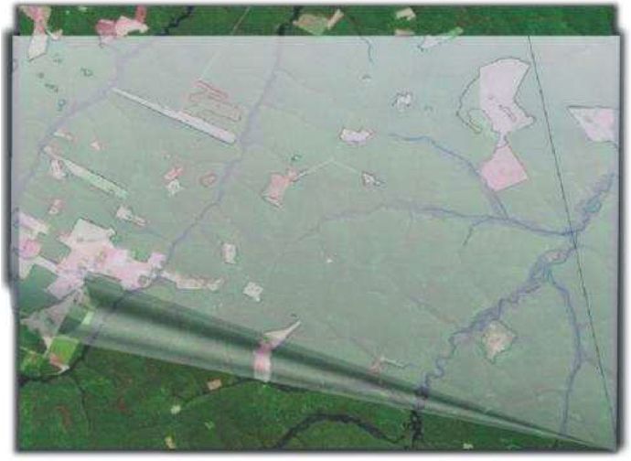
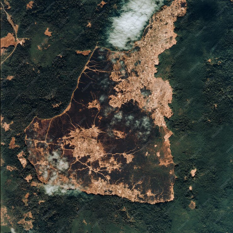
In 2018, the Prodes methodology was adapted to also monitor deforestation in the Cerrado biome. In 2022, Prodes began providing systematic deforestation information for the Pantanal, Pampa, Atlantic Forest, and Caatinga biomes, thus establishing Prodes Brazil.
Current Status
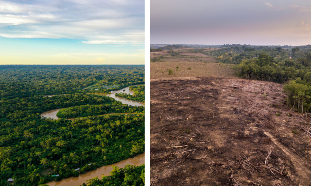
The Prodes Brazil system produces an annual inventory of primary native vegetation suppression across the entire national territory using Earth observation satellite imagery. For all biomes, it provides information on suppression (or “deforestation”), defined as the complete removal of primary vegetation, with no previous anthropogenic intervention, in areas larger than 1 hectare.
The Prodes methodology is based on change-detection techniques applied to remote sensing imagery with a spatial resolution of approximately 20–30 meters and at least three spectral bands. Suppression is mapped by comparing images acquired during the same season in different years. As an incremental methodology, only new areas, or suppression increments, are mapped each year. For each biome, methodological adaptations are made to the data production protocols and interpretation keys, together with continuous improvements to the techniques and procedures used.
Starting in 2024, all biomes will be mapped using imagery from the Sentinel-2 satellite, and semi-automated classification techniques will be gradually implemented to complement visual image interpretation.
Data on deforestation rates, annual increments, and PRODES maps for all biomes are available for visualization and download through the TerraBrasilis platform.
Prodes Classes
The raster file “Complete Prodes in Raster Format – GeoTIFF” presents the following classes resulting from the native vegetation suppression mapping:
I
Native Vegetation;
II
Non-Forest
(for Prodes Legal Amazon);
III
Hydrography;
IV
Cloud cover;
deforestation classes are associated with their year of detection. For example, d2000 corresponds to the deforestation increment mapped in 2000. Residual classes are also associated with their year of detection; for example, r2000 corresponds to the residual area mapped in 2000. For definitions and further details on the residual class, please refer to the specific technical note.
Vector data from PRODES are provided as a single GeoPackage file and contain the same mapped classes, organized into specific layers: Hydrography (hydrography); deforestation classes associated with their year of detection (yearly_deforestation); and residual classes (residual).
Depending on the biome, additional layers may be available. In the case of PRODES Legal Amazon, these include the following classes: Non-Forest (no_forest_biome); deforestation prior to 2007 (accumulated_deforestation_2007_biome); annual deforestation in Non-Forest areas (yearly_deforestation_nf_biome); and annual deforestation in polygons smaller than 6.25 ha (yearly_deforestation_smaller_than_625ha_biome).
How to Request a Review of PRODES Data?
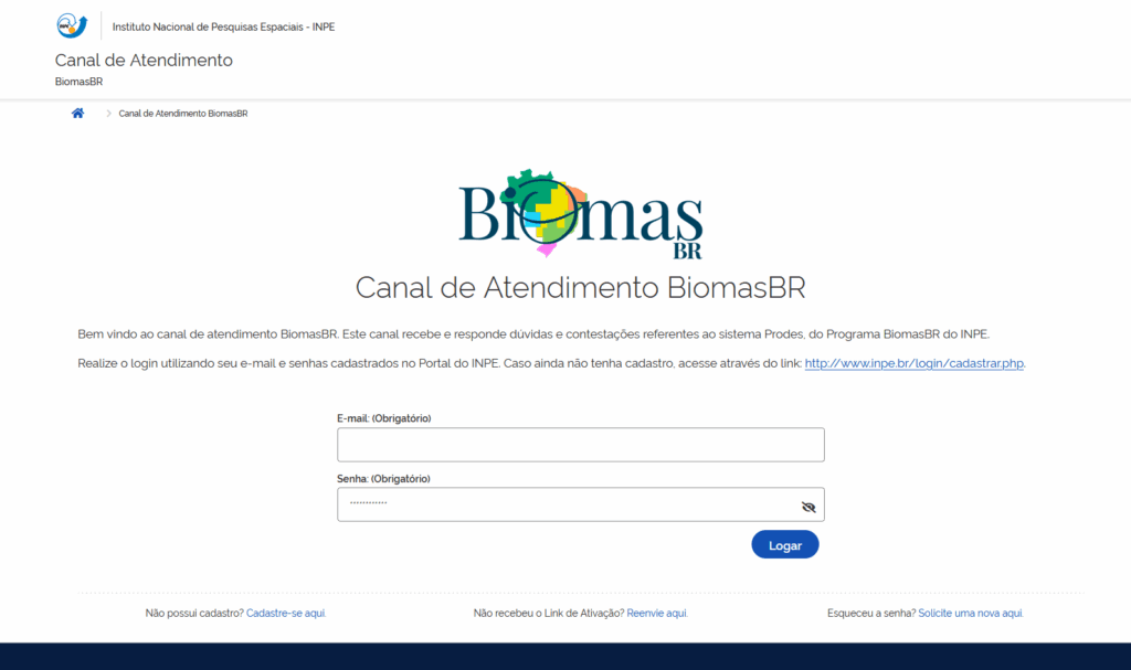
If a user identifies a disagreement with the PRODES classification, they should request a review of the PRODES data through the BiomasBR Help Desk (http://www.inpe.br/canal-atendimento-biomasbr/).
After registering with the Help Desk, the user must provide the Federal Rural Environmental Registry (CAR) number of the property concerned and the Universally Unique Identifier (UUID) of each PRODES polygon to be reviewed. We also recommend including additional information, such as a technical report, field photograph, or other material that may facilitate the assessment.
The request will be forwarded directly to our team of specialists, who will reassess the specific case. The analysis and its results will be documented in a Technical Note, which will be sent by email to the requester.
How to cite
Details of the Prodes methodology are available in Almeida et al. (2022) – Methodology used in the Prodes and Deter systems – 2nd edition (updated).
ALMEIDA, C. A.; MAURANO, L. E. P.; VALERIANO, D. M.; CÂMARA, G.; VINHAS, L.; MOTTA, M.; GOMES, A. R.; MONTEIRO, A. M. V.; SOUZA, A. A. A.; MESSIAS, C. G.; RENNÓ, C. D.; ADAMI, M.; ESCADA, M. I. S.; SOLER, L. S.; AMARAL, S. Metodologia utilizada nos sistemas Prodes e Deter – 2ª edição (atualizada). 2. ed. São José dos Campos: INPE, 2022. 47 p. IBI: . (sid.inpe.br/mtc-m21d/2022/08.25.11.46-NTC). Disponível em: http://urlib.net/ibi/8JMKD3MGP3W34T/47GAF6S.
For example, from TerraBrasilis https://terrabrasilis.dpi.inpe.br/downloads/, the data obtained from the option “Legal Amazon – Prodes (Deforestation)”, and from the file “Annual deforestation increment – Shapefile (2008/2023)” should be cited as:
INSTITUTO NACIONAL DE PESQUISAS ESPACIAIS (INPE). Legal Amazon – Prodes (Deforestation): Annual deforestation increment – Shapefile (2008/2023). 2024. Available at: https://terrabrasilis.dpi.inpe.br/geonetwork/srv/eng/catalog.search#/metadata/a5220c18-f7fa-4e3e-b39b-feeb3ccc4830 Accessed on: Sep 2, 2024. Disponível em: https://terrabrasilis.dpi.inpe.br/geonetwork/srv/eng/catalog.search#/metadata/a5220c18-f7fa-4e3e-b39b-feeb3ccc4830 Acesso em : 02 set. 2024.