
TerraClass
Systematic Monitoring of Land Use and Land Cover
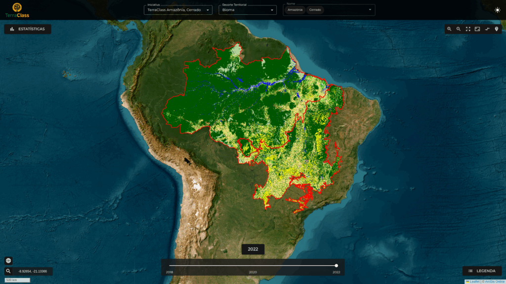
The TerraClass system produces systematic land use and land cover maps for areas of native vegetation suppression previously mapped by Prodes. TerraClass provides biennial data for the Brazilian Legal Amazon from 2008 to 2022, and for the Cerrado biome for 2018, 2020, and 2022.
TerraClass was established in 2010 by the Brazilian Agricultural Research Corporation (EMBRAPA) and INPE to meet the Federal Government’s demand for information on land use and land cover associated with deforestation in the Brazilian Legal Amazon. TerraClass was intended to provide inputs for planning government actions related to agricultural production on sustainable bases, biodiversity preservation, and maintenance of the quality of environmental services. As of 2015, TerraClass was expanded to also map the Cerrado biome.
Methodology
The TerraClass methodology, developed jointly by INPE and EMBRAPA, is currently based on the analysis of time series of medium-resolution satellite images (20 to 10 m) and image processing techniques to identify the different land use and land cover classes: natural vegetation – primary and secondary; agricultural crops – perennial, semi-perennial, single-cycle temporary, and multi-cycle temporary; pasture; silviculture; mining; urbanized; other built-up areas; other uses; non-forest natural; and water bodies.
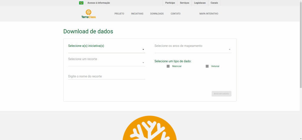
Visualization, overlay, manipulation, and statistics of land use and land cover changes from the historical series of TerraClass mappings are available on the Interactive Map platform. Geographic data in raster or vector format from TerraClass mappings are also available for download.
TerraClass Classes
180
For details and descriptions of the TerraClass classes—summarized below—as well as the executive summary and a data access tutorial, please consult the official TerraClass website.
| TerraClass Classes | |
|---|---|
| AMAZÔNIA | CERRADO |
| Primary Natural Forest Vegetation | Primary Natural Vegetation |
| Secondary Natural Forest Vegetation | Secondary Natural Vegetation |
| Silviculture | Silviculture |
| Shrubby/Tree Pasture | Pasture |
| Herbaceous Pasture | |
| Perennial Agricultural Crop | Perennial Agricultural Crop |
| Semi-perennial Agricultural Crop | Semi-perennial Agricultural Crop |
| Single-cycle Temporary Agricultural Crop | Single-cycle Temporary Agricultural Crop |
| Multi-cycle Temporary Agricultural Crop | Multi-cycle Temporary Agricultural Crop |
| Temporary Agricultural Crop | |
| Mining | Mining |
| Urbanized | Urbanized |
| Other Built-up Areas | |
| Other Uses | Other Uses |
| Not Observed | Not Observed |
| Deforestation in the Year | Deforestation in the Year |
| Non-Forest | |
| Non-Forest Natural | |
| Water Body | Water Body |
Technical and scientific publications produced by the BiomasBR Program teams are available at:
ALMEIDA, C. A.; MESSIAS, C. G.; SOLER, L.; MAURANO, L. E.; CAMILOTTI, V. L. (Ed.). Programa de Monitoramento BiomasBR. São José dos Campos: INPE, 2019-2023. IBI: <8JMKD3MGP6W34M/4AH5NEL>. Disponível em: http://urlib.net/ibi/8JMKD3MGP6W34M/4AH5NEL .