
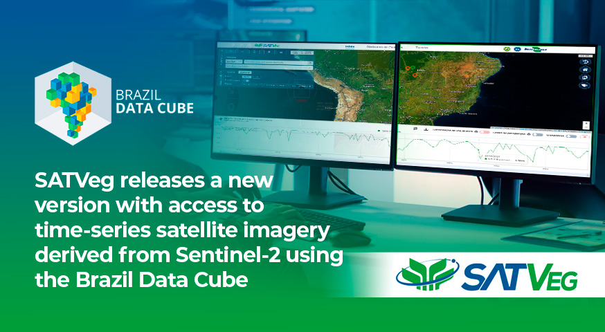
SATVeg releases a new version with access to time-series satellite imagery derived from Sentinel-2 using the Brazil Data Cube
Embrapa has released a new version of the Vegetation Temporal Analysis System (SATVeg), a platform widely used for vegetation monitoring through time series of spectral index data. The update brings significant improvements in performance, features, and especially in the expansion of data sources.
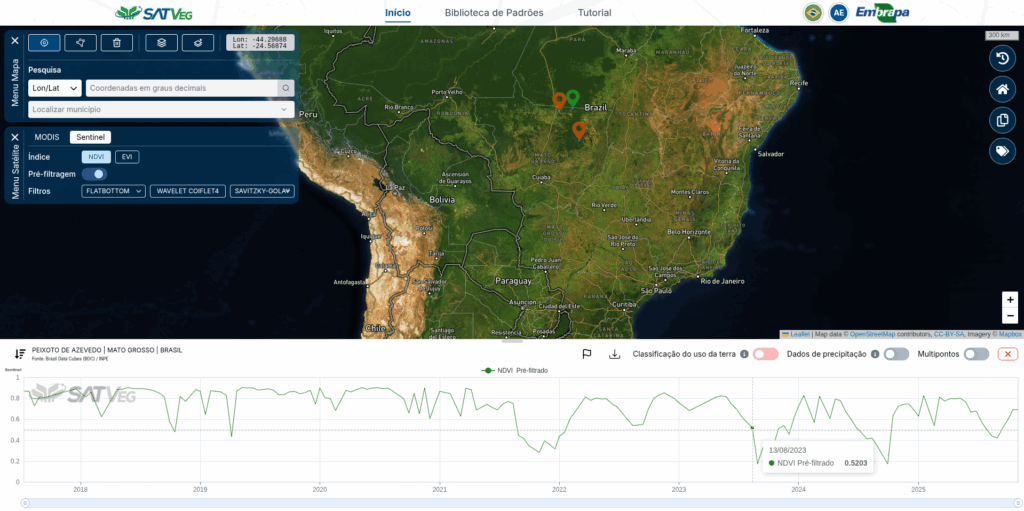
Developed by Embrapa, SATVeg is a web platform that provides historical information on vegetation indices derived from satellite imagery. The tool enables users to visualize temporal variations in terrestrial biomass and supports agricultural and environmental monitoring activities.
Among the main enhancements, a key highlight is the unprecedented integration of SATVeg with the data cubes from the Brazil Data Cube (BDC). The BDC project is an initiative of the National Institute for Space Research (INPE) dedicated to generating, organizing, and providing satellite image–based data cubes for the Brazilian territory. Through this integration implemented by Embrapa, SATVeg now enables direct access to time-series satellite imagery from Sentinel-2 produced by the BDC, expanding the platform’s potential for environmental, agricultural, and land monitoring analyses.
SATVeg can be accessed at: www.satveg.cnptia.embrapa.br.