 BIG Catalogue
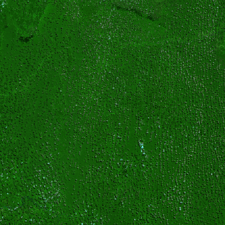
vegetation index
Type of resources
Topics
Provided by
Formats
Representation types
Update frequencies
status
-
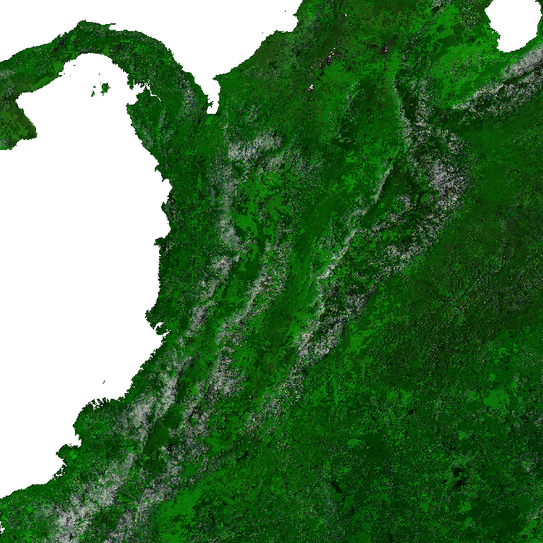
The Aqua Moderate Resolution Imaging Spectroradiometer (MODIS) Vegetation Indices (MYD13Q1) Version 6.1 data are generated every 16 days at 250 meter (m) spatial resolution as a Level 3 product. The MYD13Q1 product provides two primary vegetation layers. The first is the Normalized Difference Vegetation Index (NDVI) which is referred to as the continuity index to the existing National Oceanic and Atmospheric Administration-Advanced Very High Resolution Radiometer (NOAA-AVHRR) derived NDVI. The second vegetation layer is the Enhanced Vegetation Index (EVI), which has improved sensitivity over high biomass regions. The algorithm chooses the best available pixel value from all the acquisitions from the 16 day period. The criteria used is low clouds, low view angle, and the highest NDVI/EVI value.
-
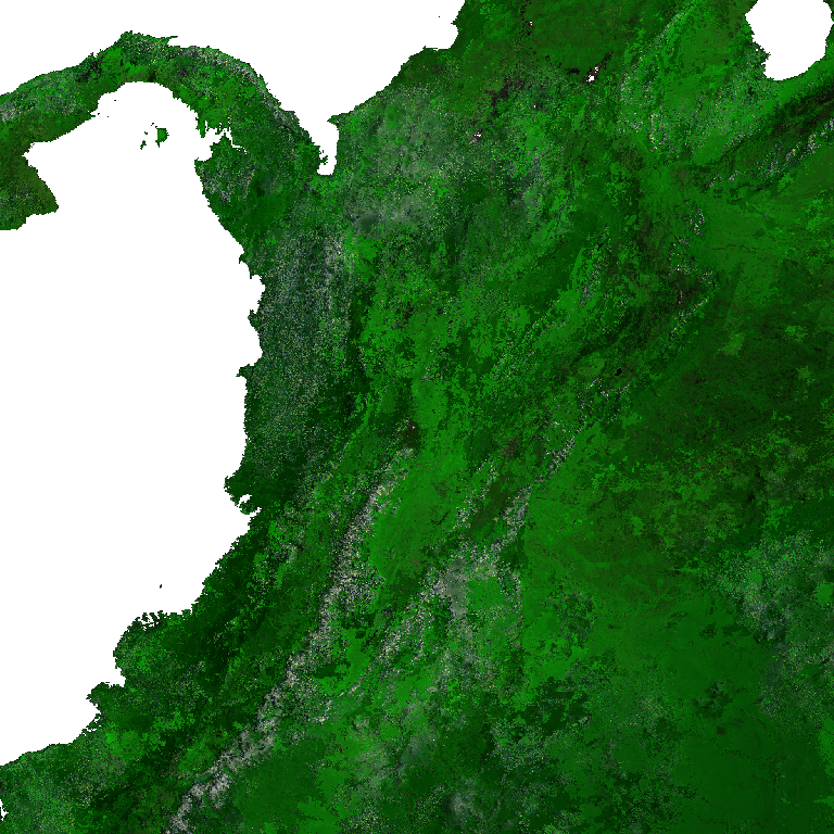
The Terra Moderate Resolution Imaging Spectroradiometer (MODIS) Vegetation Indices (MOD13Q1) Version 6.1 data are generated every 16 days at 250 meter (m) spatial resolution as a Level 3 product. The MOD13Q1 product provides two primary vegetation layers. The first is the Normalized Difference Vegetation Index (NDVI) which is referred to as the continuity index to the existing National Oceanic and Atmospheric Administration-Advanced Very High Resolution Radiometer (NOAA-AVHRR) derived NDVI. The second vegetation layer is the Enhanced Vegetation Index (EVI), which has improved sensitivity over high biomass regions. The algorithm chooses the best available pixel value from all the acquisitions from the 16 day period. The criteria used is low clouds, low view angle, and the highest NDVI/EVI value.
-

Earth Observation Data Cube generated from CBERS-4/WFI Level-4 SR product over Brazil extension. This dataset is provided in Cloud Optimized GeoTIFF (COG) file format. The dataset is processed with 64 meters of spatial resolution, reprojected and cropped to BDC_LG grid Version 2 (BDC_LG V2), considering a temporal compositing function of 16 days using the Least Cloud Cover First (LCF) best pixel approach.
-

Earth Observation Data Cube generated from CBERS-4/MUX Level-4 SR product over Brazil extension. This dataset is provided in Cloud Optimized GeoTIFF (COG) file format. The dataset is processed with 20 meters of spatial resolution, reprojected and cropped to BDC_MD grid Version 2 (BDC_MD V2), considering a temporal compositing function of 2 months using the Least Cloud Cover First (LCF) best pixel approach.
-
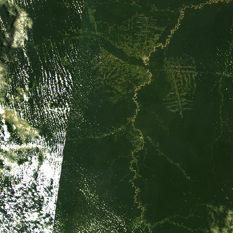
Earth Observation Data Cube generated from Landsat Level-2 product over Brazil extension. This dataset is provided in Cloud Optimized GeoTIFF (COG) file format. The dataset is processed with 30 meters of spatial resolution, reprojected and cropped to BDC_MD grid Version 2 (BDC_MD V2), considering a temporal compositing function of 16 days using the Least Cloud Cover First (LCF) best pixel approach.
-
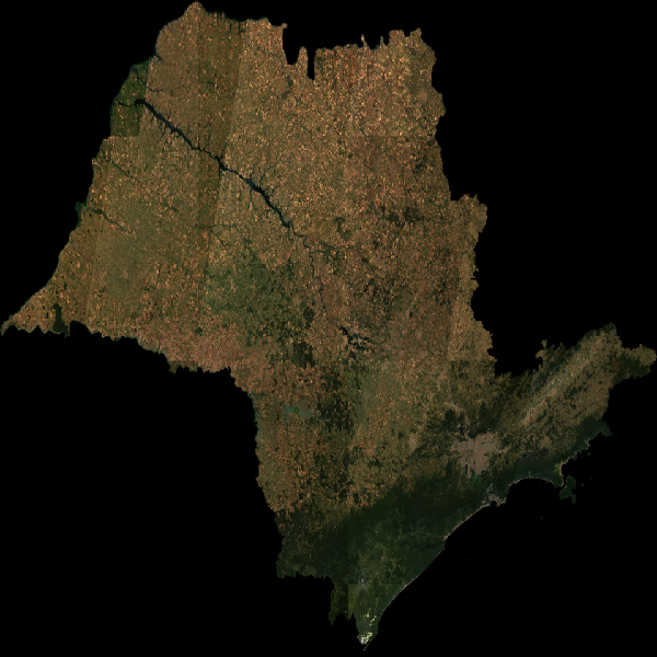
Earth Observation Data Cube generated from Landsat Level-2 product over Sao Paulo State extension. This dataset is provided in Cloud Optimized GeoTIFF (COG) file format. The dataset is processed with 30 meters of spatial resolution, reprojected and cropped to BDC_MD grid Version 2 (BDC_MD V2), considering a temporal compositing function of 6 months using the Least Cloud Cover First (LCF) best pixel approach.
-
Earth Observation Data Cube generated from Copernicus Sentinel-2/MSI Level-2A product over Brazil. This dataset is provided in Cloud Optimized GeoTIFF (COG) file format. The dataset is processed with 10 meters of spatial resolution, reprojected and cropped to BDC_SM grid Version 2 (BDC_SM V2), considering a temporal compositing function of 16 days using the Least Cloud Cover First (LCF) best pixel approach.
-

Earth Observation Data Cube generated from CBERS-4/WFI and CBERS-4A/WFI Level-4 SR products over Brazil extension. This dataset is provided in Cloud Optimized GeoTIFF (COG) file format. The dataset is processed with 64 meters of spatial resolution, reprojected and cropped to BDC_LG grid Version 2 (BDC_LG V2), considering a temporal compositing function of 8 days using the Least Cloud Cover First (LCF) best pixel approach.