
Brazil Data Cube Publishes New Study on a Methodology Applied to Secondary Vegetation Mapping in TerraClass Cerrado 2024
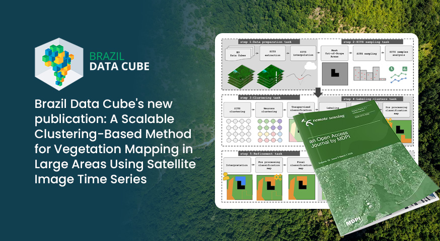
The article “A Scalable Clustering-Based Method for Vegetation Mapping in Large Areas Using Satellite Image Time Series” has been published in the scientific journal *Remote Sensing*. It presents a scalable, clustering-based approach for vegetation mapping over large areas using satellite image time series.
The study is the outcome of the Ph.D. research conducted by Baggio Luiz de Castro e Silva, under the supervision of Dr. Karine Reis Ferreira and Dr. Marcos Adami, and was developed in collaboration with the TerraClass Cerrado team.
The methodology proposed in the article was applied in the production of the TerraClass Cerrado 2024 map, with a particular focus on mapping the **secondary vegetation** class. As such, the work contributed to the development and evaluation of methods for monitoring this land cover class across the Cerrado biome.
The TerraClass Cerrado 2024 map is available through the TerraClass Portal: https://www.terraclass.gov.br/
The methodology and results presented in the article represent a contribution to the development of Brazil Data Cube technologies for processing large volumes of Earth observation data and supporting large-scale land use and land cover monitoring initiatives.
To learn more about the methodology and its application in TerraClass Cerrado 2024, read the full article: https://doi.org/10.3390/rs18132162